
Service
Mobile LiDAR Mapping
Vehicle-mounted LiDAR systems for high-speed corridor mapping and digital twins.
Overview
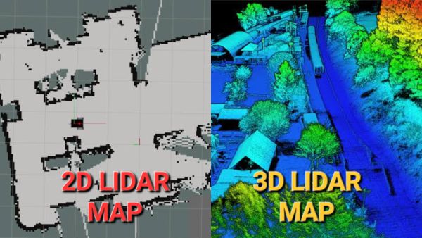
Everything you need from 2D & 3D Mobile LiDAR
- High-speed vehicle-mounted scanning
- Survey-grade accuracy
- Corridor & asset mapping
- Digital twin generation
Workflow
- 1Data Collection
- 2Processing
- 3Feature Extraction
- 4QA/QC
- 5Delivery
Applications
- Roads
- Railways
- Highways
- Powerlines
- Utilities
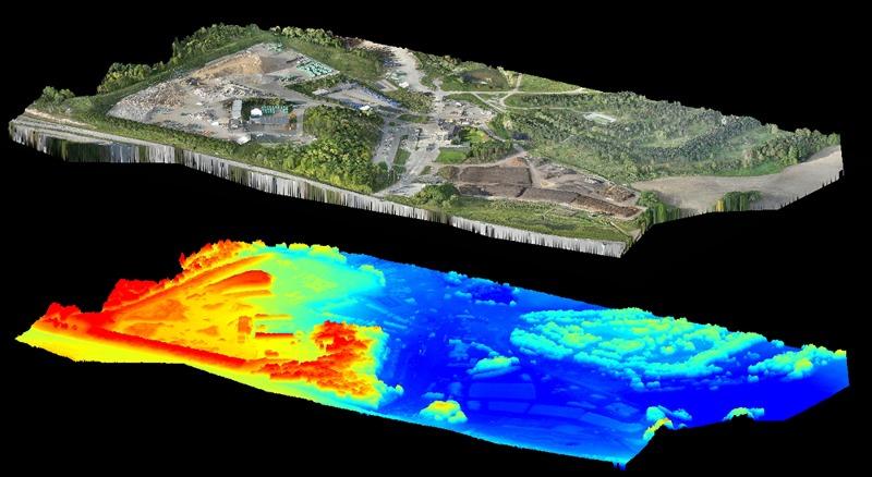
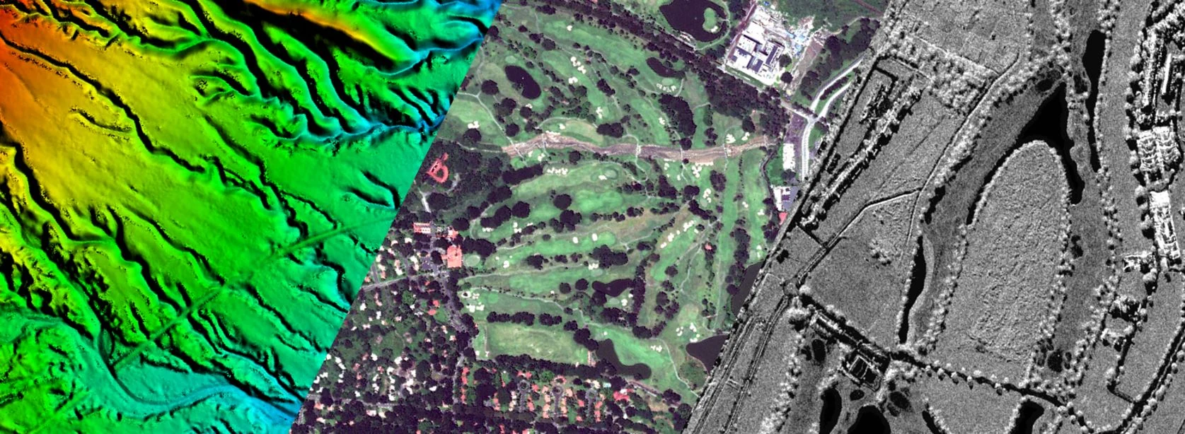
Project Gallery
Selected visuals
Deliverables
Formats we deliver
Point CloudsCAD DrawingsDigital TwinsAsset Inventory