
Service
LiDAR Processing Services
Precision point cloud classification, feature extraction and terrain modelling at any scale.
Capabilities
Everything you need from LiDAR Processing
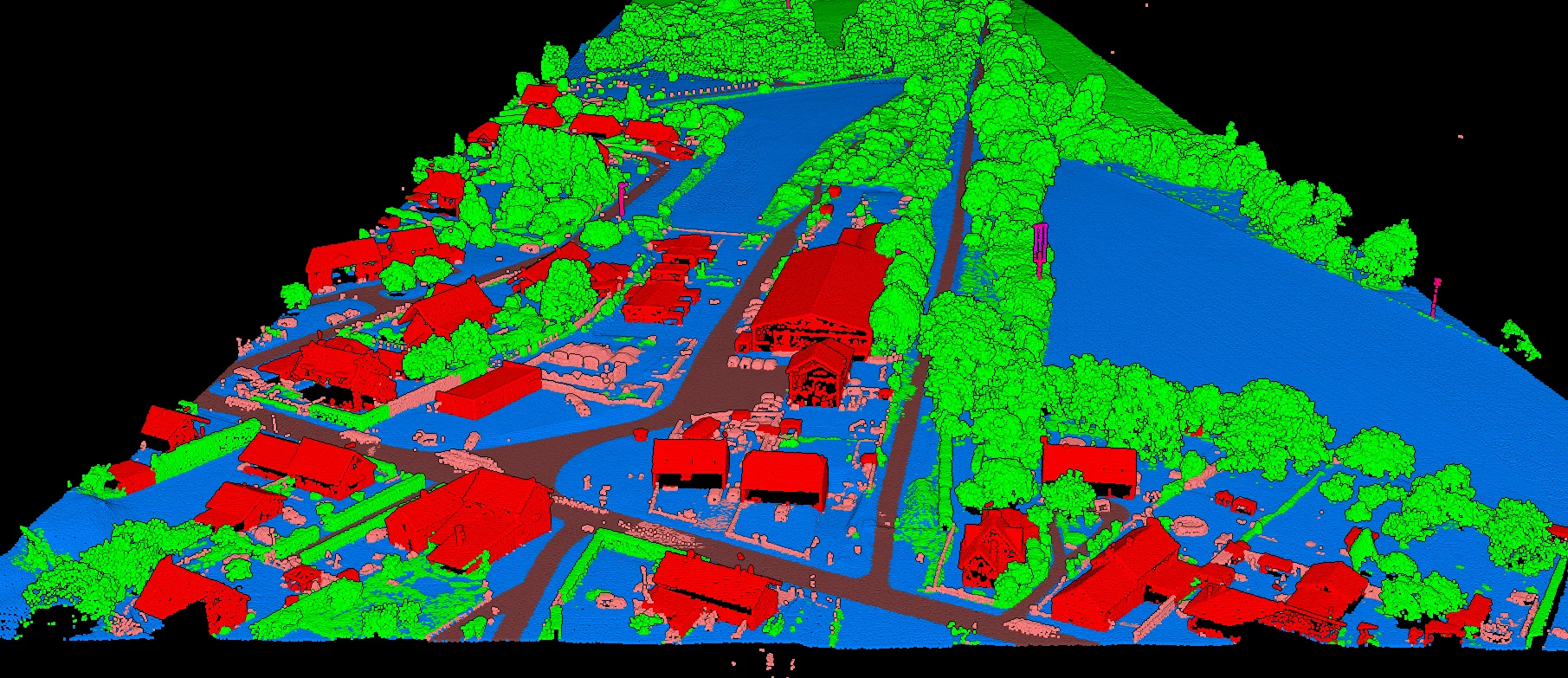
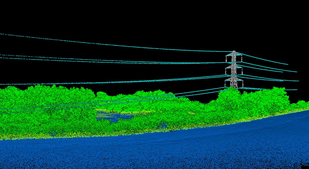
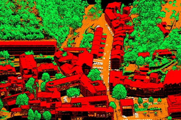
- Point Cloud Classification
- Ground Extraction
- Feature Extraction
- Building Detection
- Vegetation Analysis
Workflow
- 1Raw Point Cloud Import
- 2Classification
- 3Quality Control
- 4Feature Extraction
- 5Final Deliverables
Project Gallery
Selected visuals
Deliverables
Formats we deliver
LASLAZDEMDTMDSMContours